In Q3–Q4 2025, construction teams are leaning on autonomous drones and unified reality-capture platforms to speed inspections, tighten coordination, and improve safety. The biggest gains come from multi-sensor autonomy, on-edge processing, and centralized “single source of truth” models that link site visuals to BIM and schedules.
Surety Bond Professionals is a family-owned and operated bonding agency with over 75 years of experience. With access to a broad range of surety markets, our expert agents are ready to assist with all of your construction bond needs.
What’s Changing on Jobsites in Late 2025?
- Autonomous flight from launch to precision landing
- Multi-sensor fusion (thermal, LiDAR, mmWave radar, low-light/event cameras)
- On-edge analytics for object detection and progress tracking
- Digital twins built from aerial data for clash detection and QC
- 5G-assisted, AI-coordinated multi-drone ops (swarm inspections)
What’s New in Drone Autonomy for Construction in 2025?
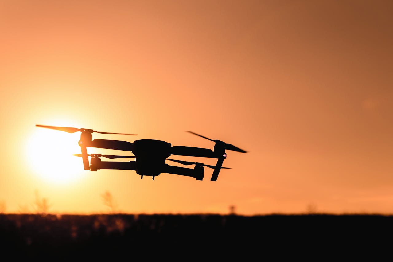
Fully Automated Flight & Safe Navigation
Recent developments in drone autonomy now allow for fully automated flight operations, including launch, mission execution, and precision landing without manual input. Drones equipped with advanced multi-sensor fusion systems combine thermal imaging, LiDAR, mmWave radar, and low-light or event-based cameras to navigate dynamic environments safely—even at night or in confined areas.
Edge Computing for Real-Time Analysis
Edge computing capabilities have also dramatically improved. The latest drones can process high-resolution visual and spatial data onboard, enabling real-time object detection, progress tracking, and structural analysis. This reduces reliance on cloud processing and enhances data privacy and response time, which are critical in remote or bandwidth-constrained areas.
High-Fidelity Imaging & Digital Twins
In terms of imaging, ultra-high-resolution and radiometric thermal cameras are being used to detect material defects, moisture intrusion, and heat loss in building envelopes. Simultaneously, machine learning algorithms now power real-time 3D modeling, enabling teams to generate highly detailed digital twins directly from aerial data, improving clash detection and quality control.
5G, Multi-Agent Coordination & Precision Landing
Another recent breakthrough in 2025 is the integration of 5G connectivity and AI-guided multi-agent coordination, which allows multiple drones to operate collaboratively. These swarms can conduct synchronized inspections across large infrastructure projects, enhancing speed and coverage. Meanwhile, low-latency landing systems using radar-event camera fusion improve safety and precision when returning drones to active or cluttered job sites. Overall, these advances are transforming the role of drones in construction—from passive observers to proactive, intelligent agents that drive efficiency, safety, and data-rich decision-making on complex projects.
How Does Reality-Capture Data Integrate into Project Controls?
By Centralizing Captures into Hubs & Digital Twins
Recent innovations have made it seamless to funnel diverse reality capture outputs—such as LiDAR scans, drone photogrammetry, 360° walkthroughs, and point clouds—into centralized data environments often structured as digital twins or cloud-based hubs. This convergence enables the overlay of as-built data onto design models and project schedules in real-time, providing powerful 4D insights into construction progress, discrepancies, and quality issues.
By Aligning BIM and Automating Feedback Loops
Aligning captured visuals with BIM in a unified repository provides the benefits of improved visibility, fewer RFIs, expedited issue detection, and streamlined inspections. Advanced systems now enable feedback loops as AI compares live site visuals directly to BIM and scheduling data, automatically surfacing delays, deviations, or trade-specific setbacks.
In essence, centralizing reality capture data transforms disparate field inputs into a single “source of truth,” enhancing collaboration, decision-making speed, and overall project control across stakeholders.
How Do Surety Bonds Support Tech-Driven Project Delivery?
Prequalification & capacity: Reality-capture logs and drone-based progress give objective production evidence, helping contractors qualify for larger bid, performance, and payment bond programs.
Payment protection: Verified quantities and timelines from captures reduce pay-app disputes that can trigger payment bond claims.
Claims & closeout: Time-stamped imagery speeds surety decisions (tender/finance/replace) and streamlines punch-list and maintenance obligations.
Takeaways
Together, the breakthroughs in drone autonomy, sensor fusion, and centralized reality capture are turning the construction site into a smarter, more connected environment. As these tools mature, their impact extends beyond efficiency gains. They are reshaping safety protocols, accelerating inspections, and enhancing real-time coordination across teams and trades. Firms that proactively integrate advanced aerial systems and unified data platforms into their operations will gain a decisive edge in project delivery, risk management, and client satisfaction. As Q4 wraps, the momentum shows no signs of slowing, making now the time to invest in the next generation of construction intelligence. For more on new technology, read our blog on how AI can reduce construction delays.
Call Us Today
Our surety bond professionals will help you grow your revenue by maximizing your surety capacity. Call us today!
Frequently Asked Questions
Do we need 5G on-site for drone ops?
No. 5G improves multi-drone coordination, but most flights run on standard connections; plan for offline edge processing as a fallback.
How often should we schedule aerial scans?
Weekly is common for progress; critical phases may warrant daily flights.
What’s the difference between LiDAR and photogrammetry?
LiDAR measures distance with laser pulses; photogrammetry uses images to compute 3D geometry. LiDAR excels in low-texture/vegetated areas; photogrammetry offers rich visual detail at lower cost.
How does reality capture reduce RFIs?
By aligning as-built visuals to BIM, clashes and discrepancies surface earlier, shrinking RFI volume and cycle time.
Are there permit or airspace rules?
Yes. Check FAA and local rules and coordinate with site owners and nearby airports.